

Precision in Every Action. Innovation for Every Future.
Where Precision Meets Innovation
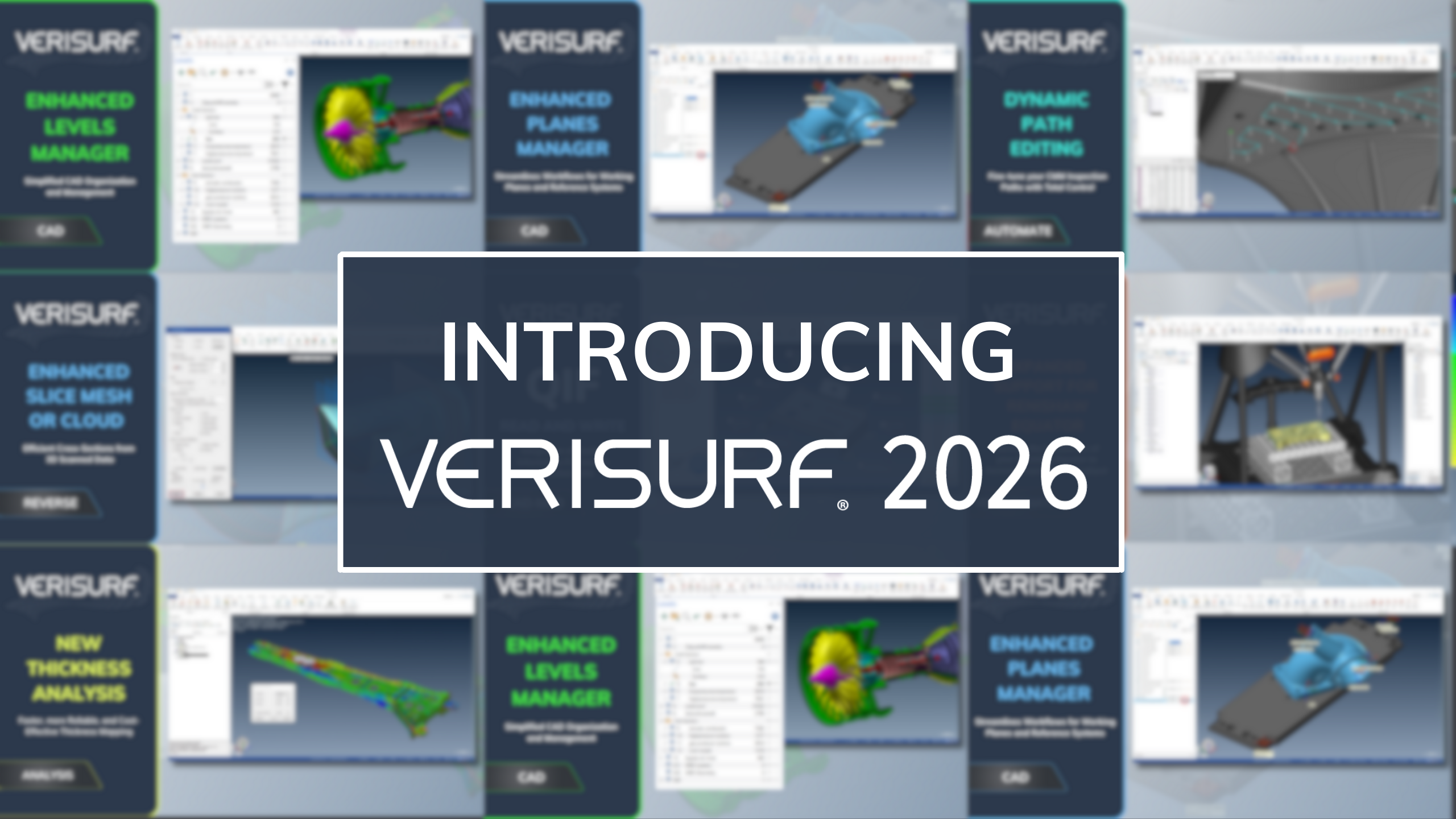
ENHANCED LEVELS MANAGER
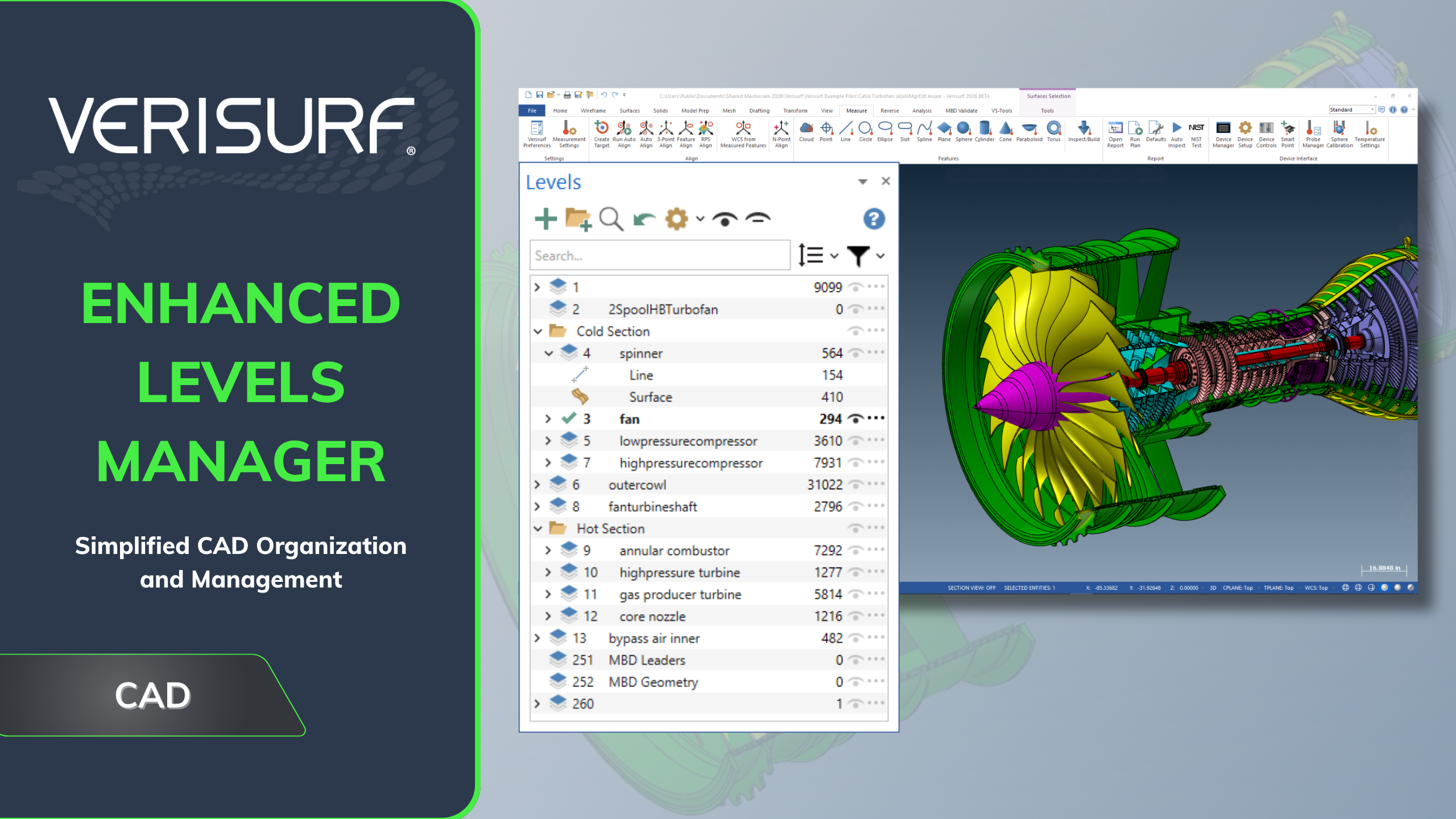
- Fast and efficient advanced visual organization of CAD entities, parts and assemblies
- Drag-and-drop or cut-and-paste CAD content into custom, collapsable parent/child groups
- Powerful content searching finds and displays entities, levels, and groups
ENHANCED PLANES MANAGER
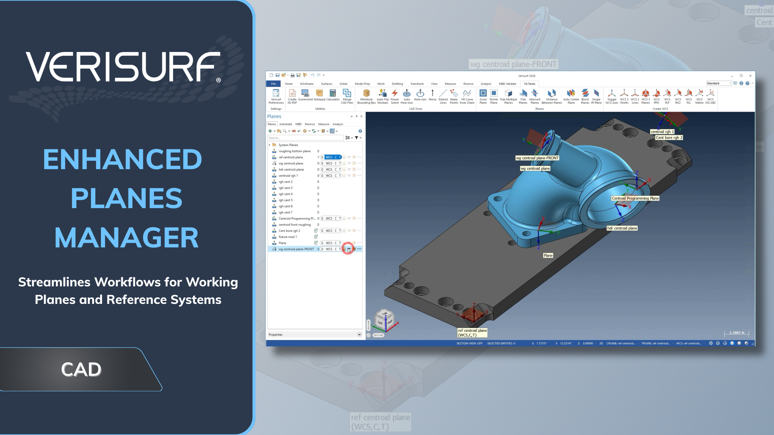
- Improved handling of assemblies, components and measurement processes with multiple reference planes
- Expedites reverse engineering and CAD tasks
- Better coordinate system management saves time in tool-building and CMM programming
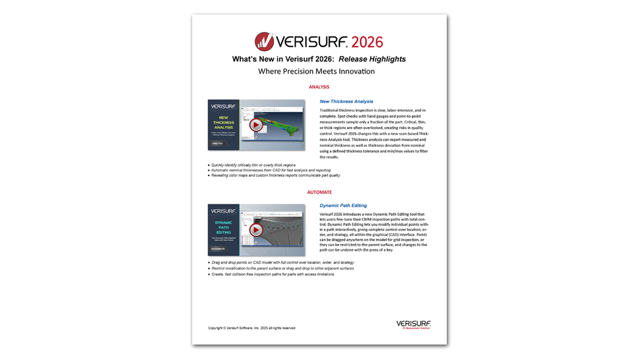
DYNAMIC PATH EDITING
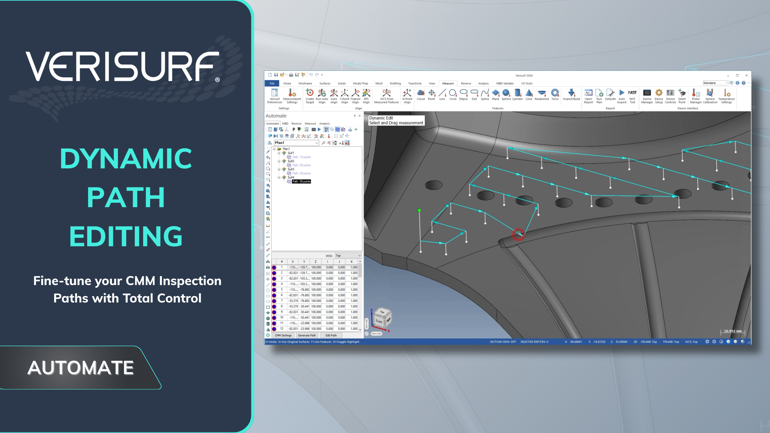
- Drag and drop points on CAD model with full control over location, order, and strategy
- Restrict modification to the parent surface or drag and drop to other adjacent surfaces
- Create, fast collision free inspection paths for parts with access limitations
ENHANCED SLICE MESH OR CLOUD
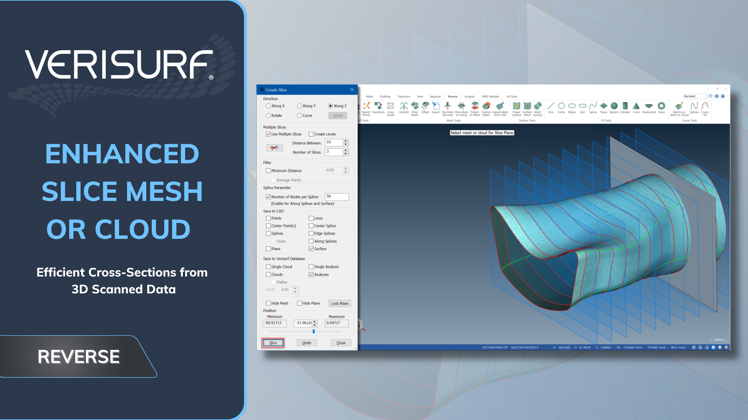
- Faster analysis through an option to project points to a mesh generated from surfaces
- Cut the time it takes for profile analysis of complex shapes
- Especially helpful for parts with a lot of surfaces and for large pointclouds
QIF – READ AND WRITE
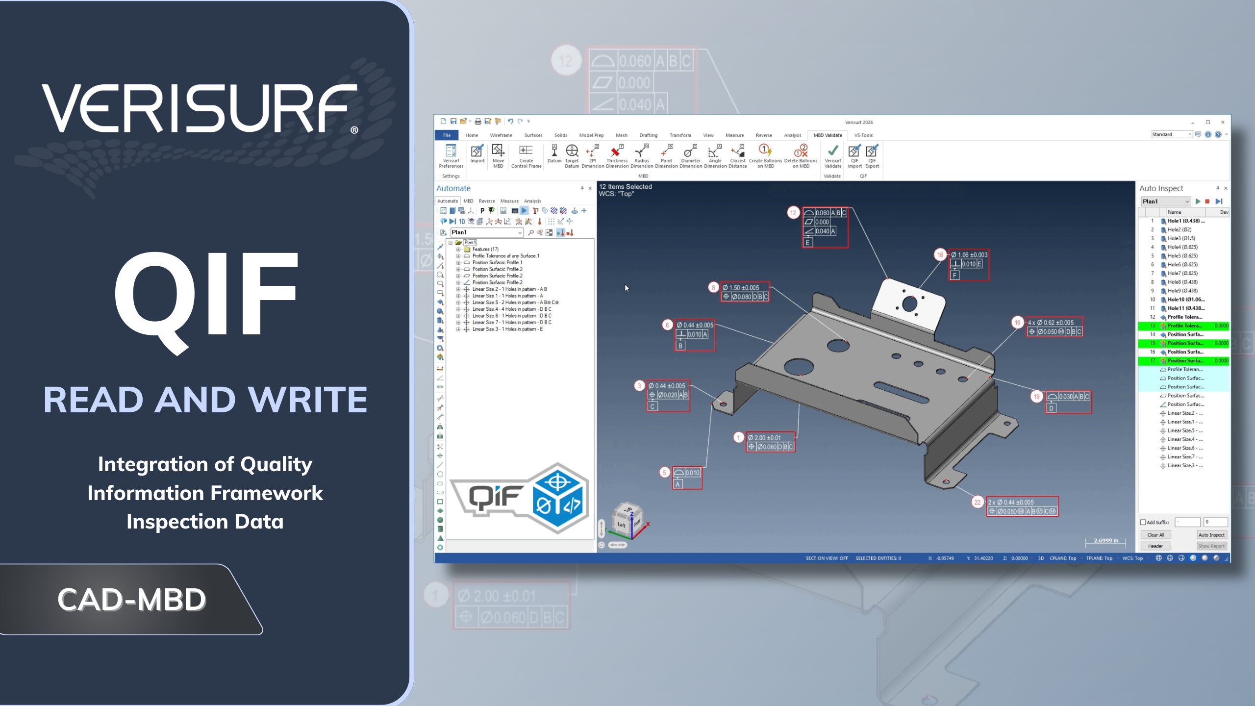
- Meets new industry standard for inspection data interoperability
- Complete model-based workflow with inspection automation and digital traceability
- Model-based tolerances, measurement parameters, and characteristic ID numbers
RENISHAW EQUATOR RENCOMPARE
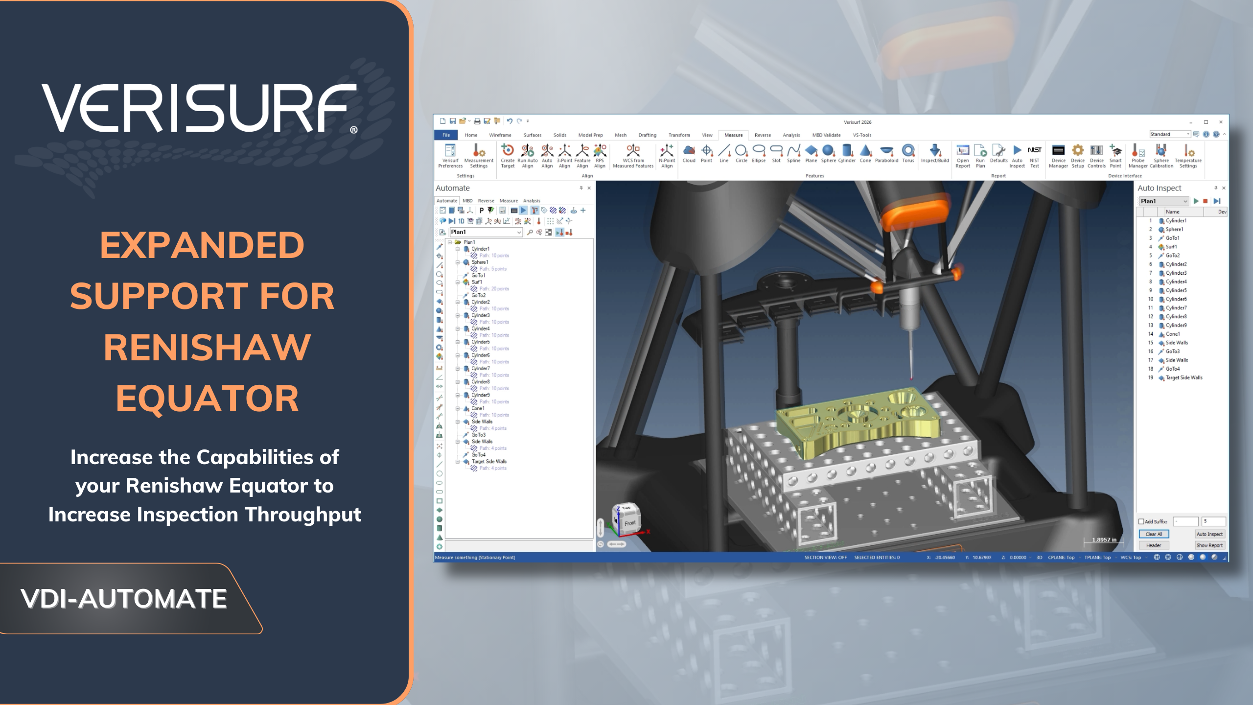
- Improves speed and accuracy for high-volume inspection applications
- Golden Compare measures a master part on the Equator to establish baseline
- CMM Compare uses measurements of a master part on a CMM for the baseline
NEW THICKNESS ANALYSIS
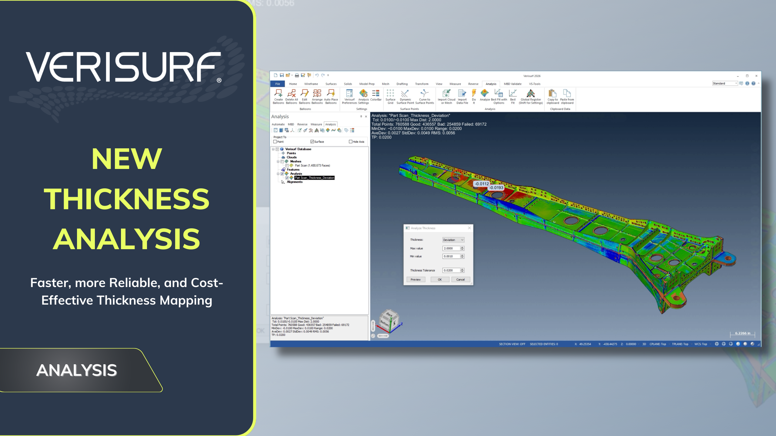
- Quickly identify critically thin or overly thick regions
- Automatic nominal thicknesses from CAD for fast deviation analysis and reporting
- Revealing color maps and custom thickness reports communicate part quality
HIGHEST POINTS FILTER
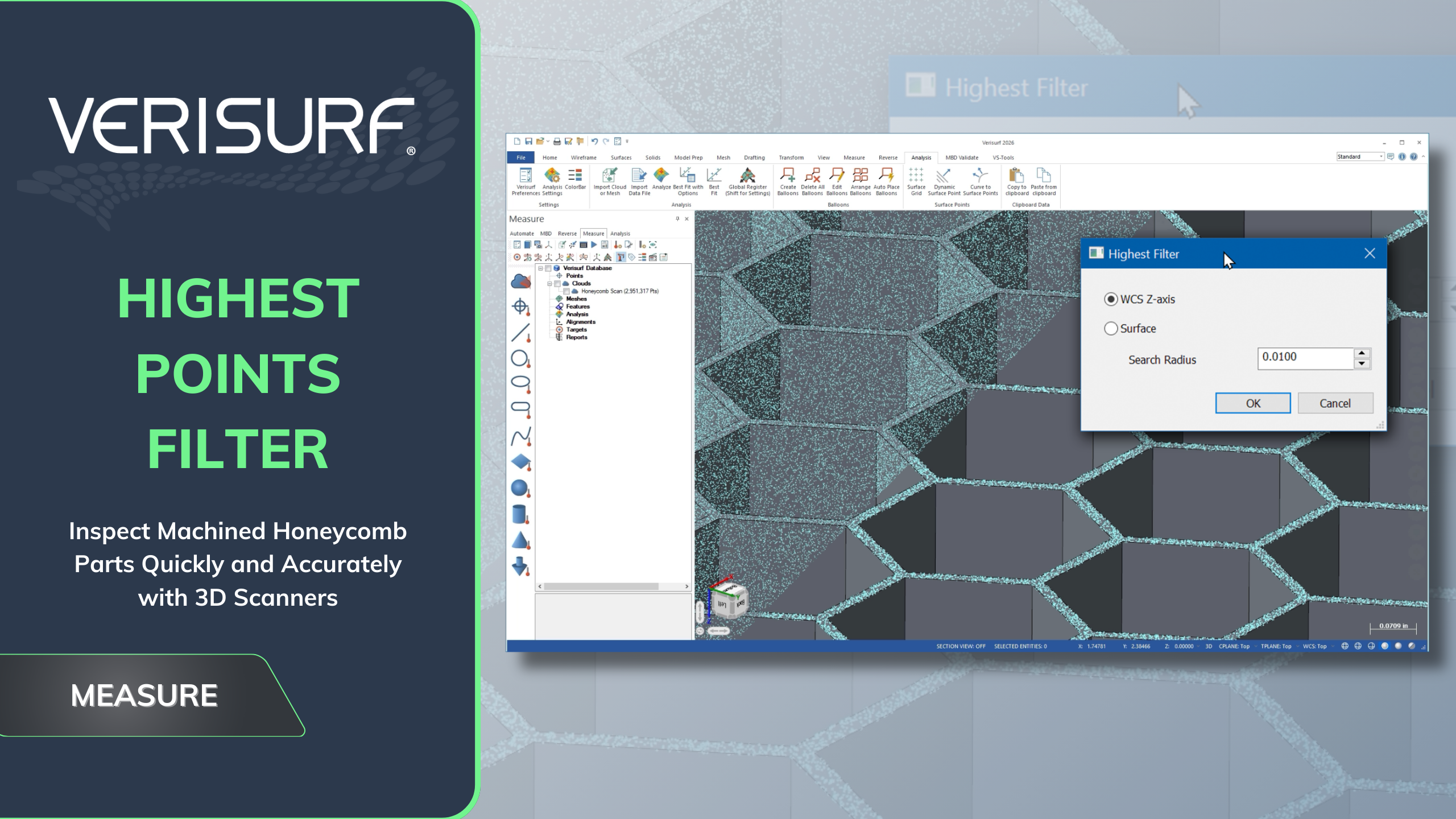
- Simplifies the inspection of machined honeycomb parts using scanned cloud or mesh
- Filter creates a new cloud of highest points using coordinate system or surface normal height
- Additional tools can be used to verify the accuracy of the filtered cloud
INTRODUCING VERISURF 2026
RELEASE HIGHLIGHTS PDF
In addition to the capabilities illustrated above, Verisurf 2026 includes more new functions and refinements to existing features. Contact us for a live or online demonstration or with your questions. Verisurf 2026 is another new release driven by our customers, partners, and professionals facing new measurement challenges in the real world.